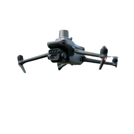


DJI Mavic 3M (Multispectral)
Scan and analyze crop growth with total clarity
Enable high precision agricultural management
More than 400 acres mapped in 43 minutes
Compact, portable and foldable for easy storage
Efficiency and Portability
Compact, portable, and foldable for easy storage.
Up to 494 acres per flight
Centimeter-level RTK positioning and microsecond-level time synchronization
4 x 5MP Multispectral cameras and a 20 MP RGB camera.
Omnidirectional obstacle avoidance and 9.3mi Transmission Distance.
Improved accuracy and consistency of data acquired over time
Mapping Drone for the Agricultural Industry
The Mavic 3M is the most advanced aerial surveying drone, able to map sloped landscapes, generate 3D operation routes, and easily distinguish trees from other obstacles or objects.


Orchard Mapping
The Mavic 3M allows terrain-follow aerial surveying of orchards, even on sloped landscapes. Together with DJI Terra or DJI SmartFarm Platform to reconstruct high-resolution orchard maps, automatically identify the number of trees, distinguish trees from other obstacles or objects, and generate three-dimensional operation routes for agricultural drones, making operations safer and more efficient.
Variable Rate Application Guidance
For rice fertilization, cotton growth regulation, and potato foliar fertilizer spraying, the Mavic 3M is used to obtain multi-spectral images of crops. DJI Terra or the DJI SmartFarm Platform can then generate NDVI and other vegetation indices maps, capturing differences in crop potential and generating prescription maps that allow agricultural drones to execute variable-rate application. This ultimately allows users to reduce costs, increase yield, and protect the environment.


Intelligent Field Scouting
Mavic 3M allows terrain-follow aerial surveying of orchards, even on sloped landscapes. Together with DJI Terra or DJI SmartFarm Platform to reconstruct high-resolution orchard maps, automatically identify the number of trees, distinguish trees from other obstacles or objects, and generate three-dimensional operation routes for agricultural drones, making operations safer and more efficient.
WHAT'S IN THE BOX
DJI MAVIC 3M
- DJI Mavic 3M Multispectral Drone
- Remote Controller
- 3x Pair of Propellers
- Charger
- Power Cable
- USB-C Cable
- USB-C to USB-C Cable
- Carrying Case
- Screwdriver
- User manual
- DJI 1 Year Limited Warranty
.png?width=2000&height=960&name=Ackerbau%20(2000%20x%20960%20px).png)